
Article Sidebar
Main Article Content
Abstract
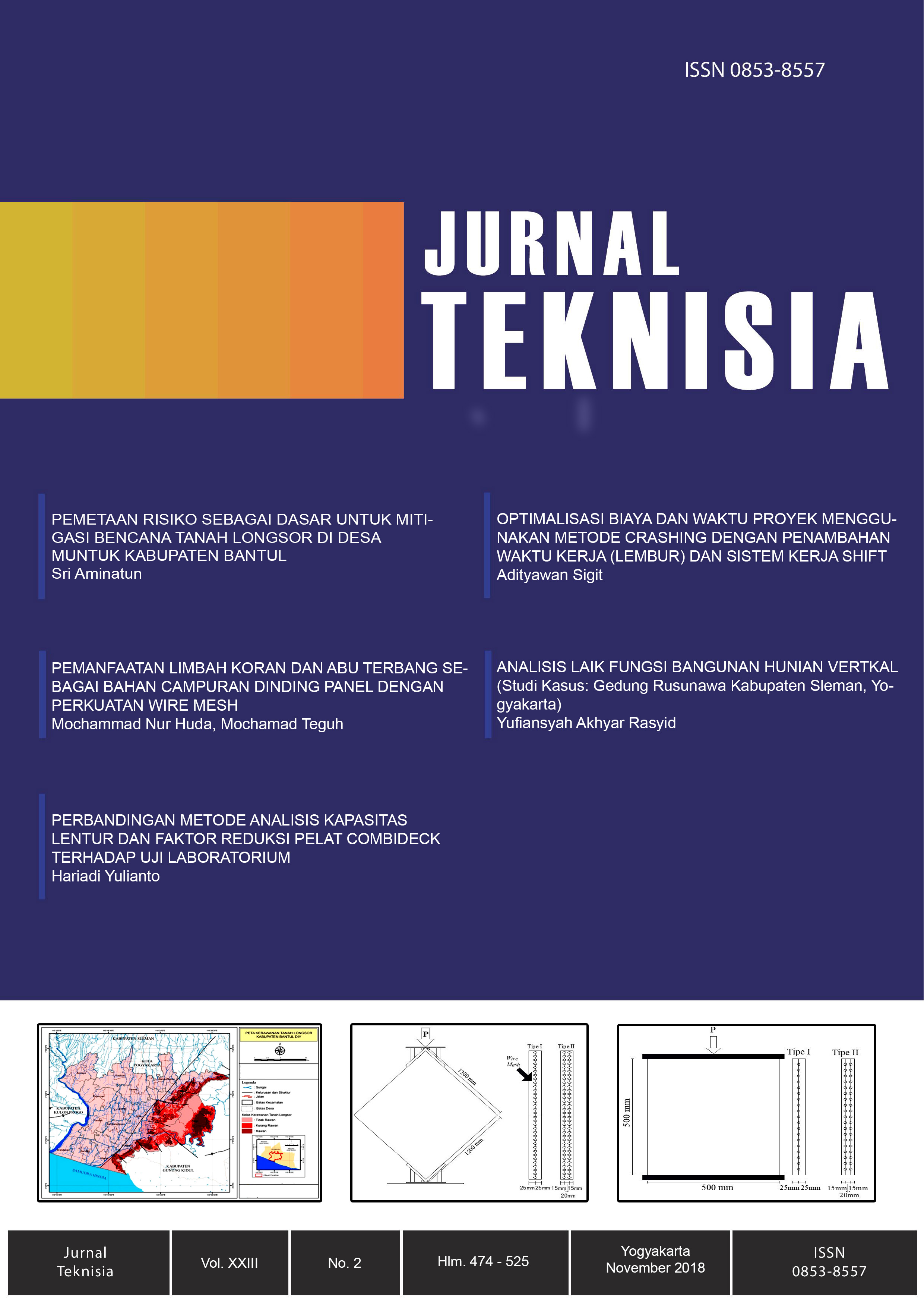
Muntuk Village Dlingo District Bantul Regency is one of the villages that are vulnerable to landslides located on the topography of the ridge to the hills in the eastern region of Bantul Regency. In each rainy season some areas in the village of Muntuk landslides occurred. Based on the map of Landslides Prone Area from the Regional Disaster Management Agency, Muntuk Village is one of the villages in Bantul Regency that has steep slopes, so it has high potential for landslides, one of the ways to mitigate the landslide disaster is to assess and analyze the risk of landslide disaster in detail. This study aims to identify the homes of residents who are in landslide threat zone, be it a high threat zone or medium threat zone. The method used in this research is descriptive method with qualitative approach combined with quantitative method used to give a clear picture about the number of houses in each zonation. Sources of data used are primary and secondary data sources through interviews and documentation. The results of this study indicate that 1) the number of households in the high risk zone is 116 houses, in the hight hazard zone is 160 houses. 2) The village of Muntuk has a high threat, medium to high vulnerability, and medium capacity, which means having a medium to high risk. 3) Recommended infrastructure development for disaster mitigation.
Keywords
Article Details
Under the following term:
-
Attribution — You must give appropriate credit, provide a link to the license, and indicate if changes were made. You may do so in any reasonable manner, but not in any way that suggests the licensor endorses you or your use.
-
ShareAlike — If you remix, transform, or build upon the material, you must distribute your contributions under the same license as the original.
- No additional restrictions — You may not apply legal terms or technological measures that legally restrict others from doing anything the license permits.
References
- Undang-Undang Republik Indonesia No.24 tahun 2007 tentang Penanggulangan Bencana.
- Badan Nasional Penanggulangan Bencana (BNPB), (2015), Kerangka Kerja Sendai untuk Pengurangan Risiko Bencana (2015-2030).
- United Nation-International Strategi for Disaster Reduction (UN-ISDR), (2007), Panduan untuk Mengimplementasikan Kerangka Kerja Sendai.
- Peraturan Pemerintah No.21 tahun 2008, tentang Penyelenggaraan Penanggulangan Bencana.
- BNPB, (2008), Peraturan Kepala Badan Nasional Penanggulangan Bencana Republik Indonesia, No.4 tahun 2008 tentang Pedoman Rencana Penanggulangan Bencana
- BNPB, (2012), Peraturan Kepala Badan Nasional Penanggulangan Bencana Republik Indonesia, No.2 tahun 2012 tentang Pedoman Umum Pengkajian Risiko Bencana.
- Aminatun, S, ( 2013), Analisis Risiko Bencana Tanah Longsor di Kabupaten Bantul, The World Bank, Global Fasility for Disaster Reduction and Recovery bekerjasama Kabupaten Bantul.
- Haryanto, D, (2009), Kajian Risiko Tanah Longsor Di Kota Semarang Provinsi Jawa Tengah, Program Pascasarjana Fakultas Teknik Universitas Gadjah Mada, Yogyakarta.
- BAPPEDA DIY, (2008), Metode Pemetaan Risiko Bencana Provinsi Daerah Istimewa Yogyakarta.
- Pusat Studi Bencana UPN Veteran Yogyakarta. (2009), Pemetaan Risiko Bencana,
References
Undang-Undang Republik Indonesia No.24 tahun 2007 tentang Penanggulangan Bencana.
Badan Nasional Penanggulangan Bencana (BNPB), (2015), Kerangka Kerja Sendai untuk Pengurangan Risiko Bencana (2015-2030).
United Nation-International Strategi for Disaster Reduction (UN-ISDR), (2007), Panduan untuk Mengimplementasikan Kerangka Kerja Sendai.
Peraturan Pemerintah No.21 tahun 2008, tentang Penyelenggaraan Penanggulangan Bencana.
BNPB, (2008), Peraturan Kepala Badan Nasional Penanggulangan Bencana Republik Indonesia, No.4 tahun 2008 tentang Pedoman Rencana Penanggulangan Bencana
BNPB, (2012), Peraturan Kepala Badan Nasional Penanggulangan Bencana Republik Indonesia, No.2 tahun 2012 tentang Pedoman Umum Pengkajian Risiko Bencana.
Aminatun, S, ( 2013), Analisis Risiko Bencana Tanah Longsor di Kabupaten Bantul, The World Bank, Global Fasility for Disaster Reduction and Recovery bekerjasama Kabupaten Bantul.
Haryanto, D, (2009), Kajian Risiko Tanah Longsor Di Kota Semarang Provinsi Jawa Tengah, Program Pascasarjana Fakultas Teknik Universitas Gadjah Mada, Yogyakarta.
BAPPEDA DIY, (2008), Metode Pemetaan Risiko Bencana Provinsi Daerah Istimewa Yogyakarta.
Pusat Studi Bencana UPN Veteran Yogyakarta. (2009), Pemetaan Risiko Bencana,