
Article Sidebar
Main Article Content
Abstract
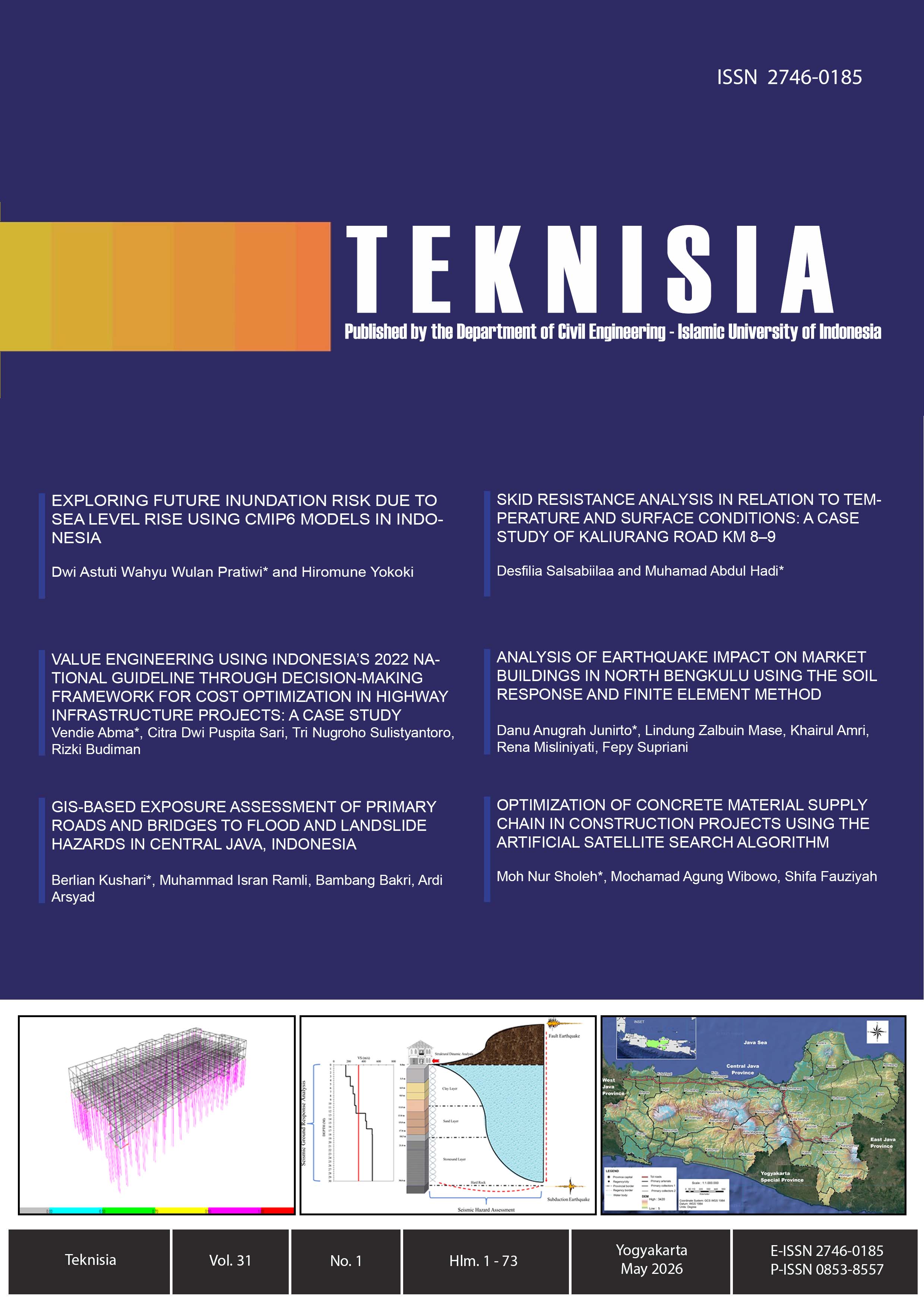
The continuity of road transportation services is always threatened by flash flood and landslide in Central Java Province that is always exposed to disaster. This study proposes a province-wide GIS-based assessment to determine the most vulnerable road sections and bridges to these hazards. Road and bridge inventories were overlaid on the official BNPB hazard maps by using ArcGIS, and exposure levels were quantified by the length of the road segments and the number of bridges crossing the low-, medium-, and high-hazard areas. The definition of hazard used in this study is the spatial potential of occurrence, not to be understood as a measure of risk of network vulnerability. The results indicate that flash flood exposure is not limited to lowland corridors, but is also prevalent in upland corridors, and that there are significant exposures along riverine systems. In contrast, landslide exposure is more spatially concentrated along upland corridors associated with steep terrain. There are several corridors that are identified as multi-hazard hotspots, such as Karang Pucung – Wangon, Bumiayu – Salem and Kutoarjo – Bruno – Wonosobo. Overall, this study offers explicit spatial information regarding exposure to hazards of the primary road network, which can serve as a basis for prioritization of mitigation, monitoring, and further connectivity-based hazard vulnerability analysis.
Keywords
Article Details
Copyright (c) 2026 Berlian Kushari, Muhammad Isran Ramli, Bambang Bakri, Ardy Arsyad

This work is licensed under a Creative Commons Attribution-ShareAlike 4.0 International License.
Under the following term:
-
Attribution — You must give appropriate credit, provide a link to the license, and indicate if changes were made. You may do so in any reasonable manner, but not in any way that suggests the licensor endorses you or your use.
-
ShareAlike — If you remix, transform, or build upon the material, you must distribute your contributions under the same license as the original.
- No additional restrictions — You may not apply legal terms or technological measures that legally restrict others from doing anything the license permits.
References
- BNPB (2015). Study on Disaster Risks for Central Java Province 2016-2020 (in Bahasa Indonesia). National Agency for Disaster Management: Jakarta
- BNPB (2021). Study on Disaster Risks for Central Java Province 2022-2026 (in Bahasa Indonesia). National Agency for Disaster Management: Jakarta
- BNPB (2024). Kompilasi Data Jumlah dan Dampak Kejadian Bencana. https://data.bnpb.go.id/dataset/data-bencana-indonesia.
- BPS. (2024). Jumlah Kejadian Bencana Alam Menurut Provinsi. https://www.bps.go.id/en/statistics-table/3/TUZaMGVteFVjSEJ4T1RCMlIyRjRTazVvVDJocVFUMDkjMw==/jumlah-kejadian-bencana-alam-menurut-provinsi--2023.html?year=2023.
- Chen, X.-Z., Lu, Q.-C., Peng, Z.-R., & Ash, J. E. (2015). Analysis of Transportation Network Vulnerability under Flooding Disasters. Transportation Research Record: Journal of the Transportation Research Board, 2532(1), 37-44. https://doi.org/10.3141/2532-05
- Gill, J. C. and Malamud, B. D. (2016): Hazard interactions and interaction networks (cascades) within multi-hazard methodologies, Earth Syst. Dynam., 7, 659–679, https://doi.org/10.5194/esd-7-659-2016
- Goetz, J. N., Brenning, A., Petschko, H., Leopold, P. (2015). Evaluating machine learning and statistical prediction techniques for landslide susceptibility modeling, Computers & Geosciences, 81, pp.1-11, https://doi.org/10.1016/j.cageo.2015.04.007.
- Hadmoko, D. S., Lavigne, F., Sartohadi, J., Gomez, C., Daryono, D. (2017). Spatio-Temporal Distribution of Landslides in Java and the Triggering Factors. Forum Geografi 31 (1), 1 – 15. DOI: 10.23917/forgeo.v31i1.3790
- Handayani, W., Chigbu, U. E., Rudiarto, I., Putri, I. H. S. (2020). Urbanization and Increasing Flood Risk in the Northern Coast of Central Java – Indonesia: an Assessment towards Better Land Use Policy and Flood Management. Land 9(10), 343. https://doi.org/10.3390/land9100343
- Handayani, W., Rudiarto, I., Setyono, J. S., Chigbu, U. E., Sukmawati, A. M. (2017). Vulnerability assessment: a comparison of three different city sizes in the coastal area of Central Java, Indonesia. Advances in Climate Change Research 8(4), 286-296. https://doi.org/10.1016/j.accre.2017.11.002
- Hermawan, F., Sulistyaningrum, E., Afchori, J. A., Yuniarto, R., et. al. (2023). Flooding and Landslide Potential Mapping of Public Housing after Landuse Change. KoNTeks 17 Vol. 1 No. 2. https://doi.org/10.62603/konteks.v1i2.33
- Isnaini, R. (2019). Analisis Bencana Tanah Longsor di Wilayah Jawa Tengah. Islamic Management and Empowerment Journal 1 (2). 143 – 160. DOI: 10.18326/imej.v1i2.143-160
- Koks, E.E., Rozenberg, J., Zorn, C. (2019). A global multi-hazard risk analysis of road and railway infrastructure assets. Nat Commun 10, 2677. https://doi.org/10.1038/s41467-019-10442-3
- Loli, M., Kefalas, G., Dafis, S., Mitoulis, S. A., Schmidt, F. (2022). Bridge-specific flood risk assessment of transport networks using GIS and remotely sensed data, Science of The Total Environment 850, 2022, 157976, https://doi.org/10.1016/j.scitotenv.2022.157976
- Mardiah, A.N.R., Lovett, J.C., Evanty, N. (2017). Toward Integrated and Inclusive Disaster Risk Reduction in Indonesia: Review of Regulatory Frameworks and Institutional Networks. In: Djalante, R., Garschagen, M., Thomalla, F., Shaw, R. (eds) Disaster Risk Reduction in Indonesia. Disaster Risk Reduction. Springer, Cham. https://doi.org/10.1007/978-3-319-54466-3_3
- Maryono, Hutomo, I. A. (2016). Model Prediksi Kawasan Rawan Bencana di Kecamatan Karangkobar. Jurnal Pembangunan Wilayah & Kota 12(3), 303-314.
- Ministry of Public Works and Housings, MoPWH (2022). Keputusan Menteri Pekerjaan Umum dan Perumahan Rakyat Nomor 430/KPTS/M/2022 tentang Penetapan Ruas Jalan dalam Jaringan Jalan Primer Menurut Fungsinya sebagai Jalan Arteri Primer dan Jalan Kolektor Primer-1
- Ministry of Public Works and Housings, MoPWH (2023). Number of National Bridges Year 2023 https://data.pu.go.id/dataset/jumlah-jembatan-nasional
- Provincial Government of Central Java (2022) Keputusan Gubernur Jawa Tengah Nomor 622/11 tahun 2022 tentang Penetapan Ruas Jalan dalam Jaringan Jalan Kolektor Primer-2 dan Jalan Kolektor Primer-3 sebagai Jalan Provinsi di Provinsi Jawa Tengah.
- Pyatkova, K., Chen., A. S., Butler, D., Vojinovic, Z., Djordjevic, S. (2019). Assessing the knock-on effects of flooding on road transportation. J. of Envi. Manag. 244, 48-60. https://doi.org/10.1016/j.jenvman.2019.05.013
- Rachmawati, T. A. (2017). Study on integrating disaster risk reduction in Indonesian municipal spatial planning. IOP Conference Series Earth and Environmental Science 70(1): 012046. DOI:10.1088/1755-1315/70/1/012046.
- Roads Law, 38 Republic of Indonesia (2004). https://jdih.pu.go.id/internal/assets/assets/produk/UU/2014/10/UU38-2004.pdf
- Toma-Danila, D., Armas, I., and Tiganescu, A.(2020). Network-risk: an open GIS toolbox for estimating the implications of transportation network damage due to natural hazards, tested for Bucharest, Romania, Nat. Hazards Earth Syst. Sci., 20, 1421–1439, https://doi.org/10.5194/nhess-20-1421-2020
- Winter, M. G., Shearer, B., Palmer, D., Peeling, D., Harmer, C., & Sharpe, J. (2016). The Economic Impact of Landslides and Floods on the Road Network. Procedia Eng., 143, 1425-1434. https://doi.org/10.1016/j.proeng.2016.06.168
- Zamroni, A., Kurniati, A. C., Prasetya, H. N. E. (2020). The assessment of landslides disaster mitigation in Java Island, Indonesia: a review. Journal of Geoscience Eng., Envi., and Tech. 5 (3) 124-128., https://doi.org/10.25299/jgeet.2020.5.3.4676
References
BNPB (2015). Study on Disaster Risks for Central Java Province 2016-2020 (in Bahasa Indonesia). National Agency for Disaster Management: Jakarta
BNPB (2021). Study on Disaster Risks for Central Java Province 2022-2026 (in Bahasa Indonesia). National Agency for Disaster Management: Jakarta
BNPB (2024). Kompilasi Data Jumlah dan Dampak Kejadian Bencana. https://data.bnpb.go.id/dataset/data-bencana-indonesia.
BPS. (2024). Jumlah Kejadian Bencana Alam Menurut Provinsi. https://www.bps.go.id/en/statistics-table/3/TUZaMGVteFVjSEJ4T1RCMlIyRjRTazVvVDJocVFUMDkjMw==/jumlah-kejadian-bencana-alam-menurut-provinsi--2023.html?year=2023.
Chen, X.-Z., Lu, Q.-C., Peng, Z.-R., & Ash, J. E. (2015). Analysis of Transportation Network Vulnerability under Flooding Disasters. Transportation Research Record: Journal of the Transportation Research Board, 2532(1), 37-44. https://doi.org/10.3141/2532-05
Gill, J. C. and Malamud, B. D. (2016): Hazard interactions and interaction networks (cascades) within multi-hazard methodologies, Earth Syst. Dynam., 7, 659–679, https://doi.org/10.5194/esd-7-659-2016
Goetz, J. N., Brenning, A., Petschko, H., Leopold, P. (2015). Evaluating machine learning and statistical prediction techniques for landslide susceptibility modeling, Computers & Geosciences, 81, pp.1-11, https://doi.org/10.1016/j.cageo.2015.04.007.
Hadmoko, D. S., Lavigne, F., Sartohadi, J., Gomez, C., Daryono, D. (2017). Spatio-Temporal Distribution of Landslides in Java and the Triggering Factors. Forum Geografi 31 (1), 1 – 15. DOI: 10.23917/forgeo.v31i1.3790
Handayani, W., Chigbu, U. E., Rudiarto, I., Putri, I. H. S. (2020). Urbanization and Increasing Flood Risk in the Northern Coast of Central Java – Indonesia: an Assessment towards Better Land Use Policy and Flood Management. Land 9(10), 343. https://doi.org/10.3390/land9100343
Handayani, W., Rudiarto, I., Setyono, J. S., Chigbu, U. E., Sukmawati, A. M. (2017). Vulnerability assessment: a comparison of three different city sizes in the coastal area of Central Java, Indonesia. Advances in Climate Change Research 8(4), 286-296. https://doi.org/10.1016/j.accre.2017.11.002
Hermawan, F., Sulistyaningrum, E., Afchori, J. A., Yuniarto, R., et. al. (2023). Flooding and Landslide Potential Mapping of Public Housing after Landuse Change. KoNTeks 17 Vol. 1 No. 2. https://doi.org/10.62603/konteks.v1i2.33
Isnaini, R. (2019). Analisis Bencana Tanah Longsor di Wilayah Jawa Tengah. Islamic Management and Empowerment Journal 1 (2). 143 – 160. DOI: 10.18326/imej.v1i2.143-160
Koks, E.E., Rozenberg, J., Zorn, C. (2019). A global multi-hazard risk analysis of road and railway infrastructure assets. Nat Commun 10, 2677. https://doi.org/10.1038/s41467-019-10442-3
Loli, M., Kefalas, G., Dafis, S., Mitoulis, S. A., Schmidt, F. (2022). Bridge-specific flood risk assessment of transport networks using GIS and remotely sensed data, Science of The Total Environment 850, 2022, 157976, https://doi.org/10.1016/j.scitotenv.2022.157976
Mardiah, A.N.R., Lovett, J.C., Evanty, N. (2017). Toward Integrated and Inclusive Disaster Risk Reduction in Indonesia: Review of Regulatory Frameworks and Institutional Networks. In: Djalante, R., Garschagen, M., Thomalla, F., Shaw, R. (eds) Disaster Risk Reduction in Indonesia. Disaster Risk Reduction. Springer, Cham. https://doi.org/10.1007/978-3-319-54466-3_3
Maryono, Hutomo, I. A. (2016). Model Prediksi Kawasan Rawan Bencana di Kecamatan Karangkobar. Jurnal Pembangunan Wilayah & Kota 12(3), 303-314.
Ministry of Public Works and Housings, MoPWH (2022). Keputusan Menteri Pekerjaan Umum dan Perumahan Rakyat Nomor 430/KPTS/M/2022 tentang Penetapan Ruas Jalan dalam Jaringan Jalan Primer Menurut Fungsinya sebagai Jalan Arteri Primer dan Jalan Kolektor Primer-1
Ministry of Public Works and Housings, MoPWH (2023). Number of National Bridges Year 2023 https://data.pu.go.id/dataset/jumlah-jembatan-nasional
Provincial Government of Central Java (2022) Keputusan Gubernur Jawa Tengah Nomor 622/11 tahun 2022 tentang Penetapan Ruas Jalan dalam Jaringan Jalan Kolektor Primer-2 dan Jalan Kolektor Primer-3 sebagai Jalan Provinsi di Provinsi Jawa Tengah.
Pyatkova, K., Chen., A. S., Butler, D., Vojinovic, Z., Djordjevic, S. (2019). Assessing the knock-on effects of flooding on road transportation. J. of Envi. Manag. 244, 48-60. https://doi.org/10.1016/j.jenvman.2019.05.013
Rachmawati, T. A. (2017). Study on integrating disaster risk reduction in Indonesian municipal spatial planning. IOP Conference Series Earth and Environmental Science 70(1): 012046. DOI:10.1088/1755-1315/70/1/012046.
Roads Law, 38 Republic of Indonesia (2004). https://jdih.pu.go.id/internal/assets/assets/produk/UU/2014/10/UU38-2004.pdf
Toma-Danila, D., Armas, I., and Tiganescu, A.(2020). Network-risk: an open GIS toolbox for estimating the implications of transportation network damage due to natural hazards, tested for Bucharest, Romania, Nat. Hazards Earth Syst. Sci., 20, 1421–1439, https://doi.org/10.5194/nhess-20-1421-2020
Winter, M. G., Shearer, B., Palmer, D., Peeling, D., Harmer, C., & Sharpe, J. (2016). The Economic Impact of Landslides and Floods on the Road Network. Procedia Eng., 143, 1425-1434. https://doi.org/10.1016/j.proeng.2016.06.168
Zamroni, A., Kurniati, A. C., Prasetya, H. N. E. (2020). The assessment of landslides disaster mitigation in Java Island, Indonesia: a review. Journal of Geoscience Eng., Envi., and Tech. 5 (3) 124-128., https://doi.org/10.25299/jgeet.2020.5.3.4676